Jan 12, 2025
How Sentinel-2 Is Transforming Land Cover Mapping in East Africa
With 10-metre resolution and a 5-day revisit cycle, Sentinel-2 is enabling faster land cover classification across the Horn.
Read MoreNeed geospatial analysis, mapping, or GIS training? Our team delivers drought monitoring, land cover mapping, flood analysis, and custom web solutions across the Horn and East Africa.
Request ConsultationDeep field experience across Somalia, Kenya, Uganda & Ethiopia
From satellite analysis to web dashboards and printed maps
Professional training in GIS, remote sensing & drone mapping
Working with governments, NGOs, and development partners across the region
Geospatial, GIS & Mapping in Africa — We offer a wide range of products, solutions and professional services. Get MORE for LESS. Everyday. And Always!

Custom geoportals, dashboards, and map viewers built with modern GIS web technologies and open APIs for partners.
Learn More
Rigorous spatial studies and evidence-based analysis to support programme design, policy, and planning decisions.
Learn More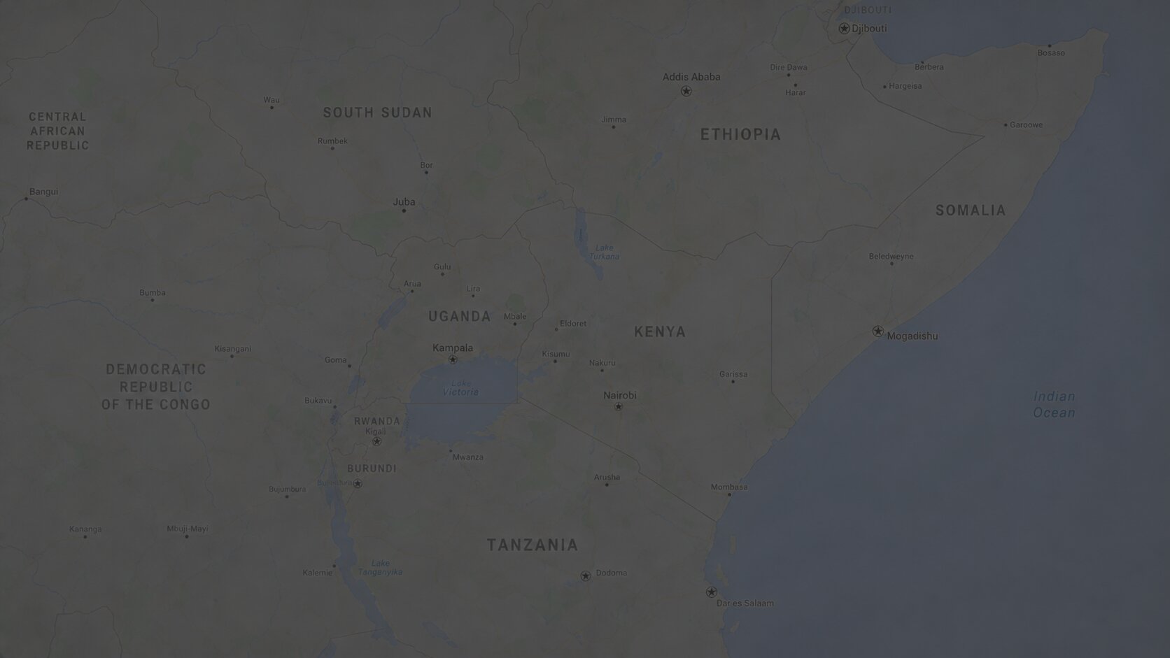
End-to-end GIS, remote sensing, and mapping for land, water, and environmental monitoring across East Africa.
Learn More
UAV photogrammetry for orthomosaics, elevation models, and rapid post-disaster surveys with high spatial detail.
Learn More
Hands-on GIS, remote sensing, and drone training for professionals building lasting in-house spatial capacity.
Learn MoreA selection of geospatial work delivered across the Horn and East Africa — from drought monitoring platforms to land cover mapping and flood risk assessment.


What our partners say about working with SoMAP on geospatial projects across the Horn and East Africa.
SoMAP delivered clear spatial outputs and responsive support throughout our programme cycle.
Project Director, Horn Analytics Ltd
Their team translated complex remote sensing results into practical maps our field staff could use immediately.

Operations Manager, Savanna Data Solutions
Professional, reliable, and easy to work with — from data processing to final dashboard delivery.

Technical Lead, East Africa GeoPartners
We collaborate with governments, UN agencies, and research institutions to deliver geospatial solutions that address real development and humanitarian challenges.


Explore our blog for insightful articles on emerging technologies and trends in the Geospatial world that inspire action on the topics you care about!

With 10-metre resolution and a 5-day revisit cycle, Sentinel-2 is enabling faster land cover classification across the Horn.
Read More
Combining NDVI anomalies, rainfall data, and SPI indices gives pastoral communities weeks of advance drought notice.
Read More
Drone surveys can produce high-resolution flood maps within hours — critical for response in hard-to-reach areas.
Read More