Sep 15, 2024 — SoMAP Earth Intelligence — Flood Mapping
UAV Photogrammetry for Rapid Flood Impact Assessment
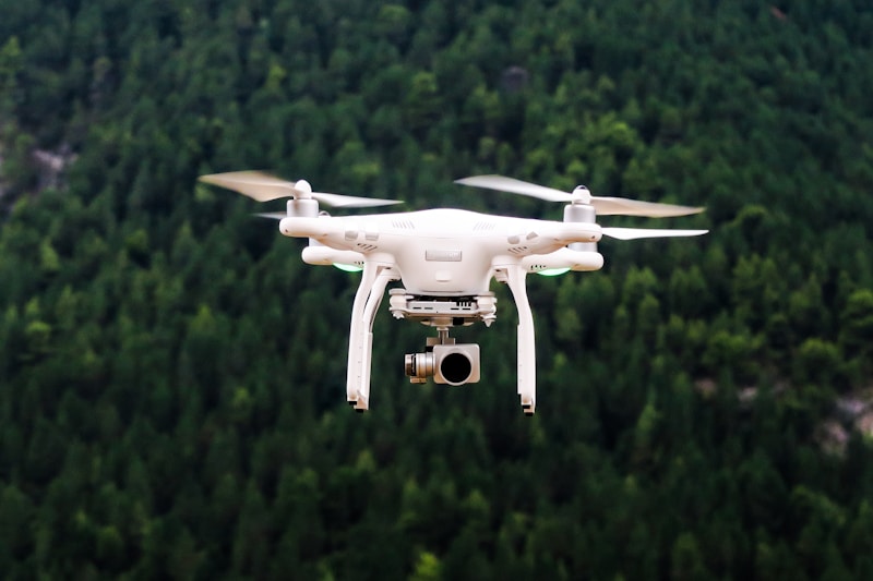
When floods strike remote areas, satellite imagery may be delayed by cloud cover. UAV photogrammetry fills this gap.
SoMAP deploys drones to capture high-resolution imagery within hours of a disaster, producing orthomosaics and DEMs that support humanitarian needs assessments.
Comments (0)
No comments yet. Be the first to comment.