01
Sep 15, 2024
UAV Photogrammetry for Rapid Flood Impact Assessment
Drone surveys can produce high-resolution flood maps within hours — critical for response in hard-to-reach areas.
Read MoreNeed geospatial analysis, mapping, or GIS training? Our team delivers drought monitoring, land cover mapping, flood analysis, and custom web solutions across the Horn and East Africa.
Request Consultation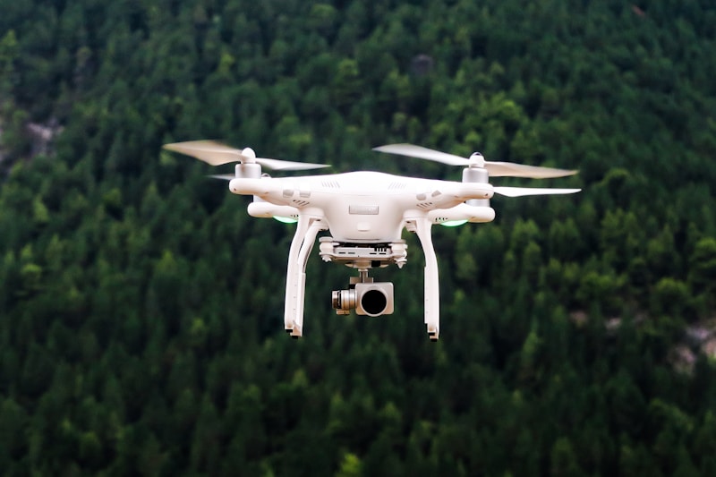
Drone surveys can produce high-resolution flood maps within hours — critical for response in hard-to-reach areas.
Read More
Radar imagery penetrates cloud cover during monsoon floods, enabling reliable inundation mapping when optical sensors fail.
Read More